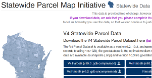
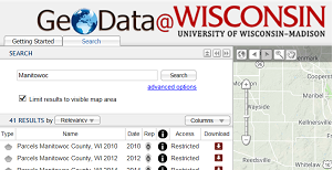
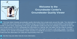
Manitowoc County HomeThis link will bring you to Manitowoc County home page.City of Manitowoc HomeThis link will bring you to the City of Manitowoc home page.Statewide Parcel Map InitiativeThe Statewide Parcel Map Initiative is an effort to create a digital parcel map for Wisconsin by aggregating local parcel datasets utilizing GIS technology. It is a multi-faceted, multi-year collaborative effort.GeoData@WisconsinThe data layers available for download represent Wisconsin municipal, county, regional planning commission, and state agency geospatial data within the UW-Madison Geography Department's Robinson Map Library's geospatial archive.Well Water Quality Viewer This link will take you to an interactive map viewer that displays groundwater quality information from private wells in Wisconsin. It is maintained by the Center for Watershed Science and Education at the University of Wisconsin – Stevens Point.
WI DNR Surface Water Data Viewer This link will take you to the Wisconsin Department of Natural Resources Surface Water Data Viewer that provides interactive web mapping tools for chemistry, physical, and biological data.